

March 2015: Gasferry Road/Gasworks Lane just off Anchor Road. Reported in Bristol Evening Post 3 April. This story also hit the national newspapers. Work still carried on though.
 October 2014 | 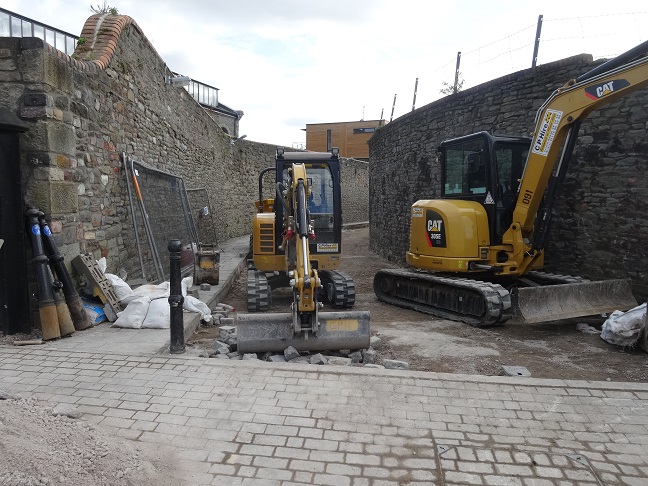 March 2015 |
12,000 setts have been lifted. They are being cut in half and relaid so that there is a flat surface. They have not applied for listed building consent, so there has been no consultation. It has apparently been requested by the cyclists. Part of the Harbourside walk and not a designated cyclist route. This is a massive job, must have cost a fortune since the cobbles are hard to cut and will totally change the appearance of the area. Flag stones and iron kerbs still there.
This is a grade II listed area: ST5772 GASFERRY ROAD, Canon’s Marsh 901-1/41/500 (West side) 05/11/85 Gateway and boundary wall to east and west sides of road (Formerly Listed as: GASFERRY ROAD (NORTH) Gateway and boundary wall fronting west side of Gasferry Road) (Formerly Listed as: GASFERRY ROAD (SOUTH) Boundary wall fronting east side of Gasferry Road)
Gateway and boundary wall. c1840. For Bristol and Clifton Oil Gas Company. Squared coursed Pennant wall and rock-faced jambs. Gate piers with gableted caps, and curved boundary wall with brick coping extends approx 100m to W side, and 150m to E side as far as the former Gas Company offices (qv). Street with granite setts, iron kerbs and flagged footways. Part of the extension to the Bristol and Clifton Oil Gas Company’s site, and a most evocative survival of industrial Victorian urban fabric.
Listing NGR: ST5795072512